Regions & Places
From large landscapes to tiny details, here’s what I saw through my lens in each of these unique ecosystems.
Appalachia
The Appalachian mountain range stretches across 13 states from southern New York to northern Mississippi. The mountains began forming over a billions years ago, making it one of the oldest mountain ranges in the entire world. This is the reason you won’t see jagged towering peaks like in other ranges. The Appalachians have been weathered down over millions of years and reach up to about 6,500' above sea level at their highest point. The Northern portions of the Appalachians differ somewhat in climate from the Southern portions. However, both exhibit four unique seasons. Streams, rivers, springs and waterfalls flow throughout this region fed mostly from rainwater. Rain often comes in the form of short, heavy downpours, but is generally well distributed throughout the year.
A mother black bear and cub (Ursus americanus)
A white-tailed deer fawn (Odocoileus virginianus)
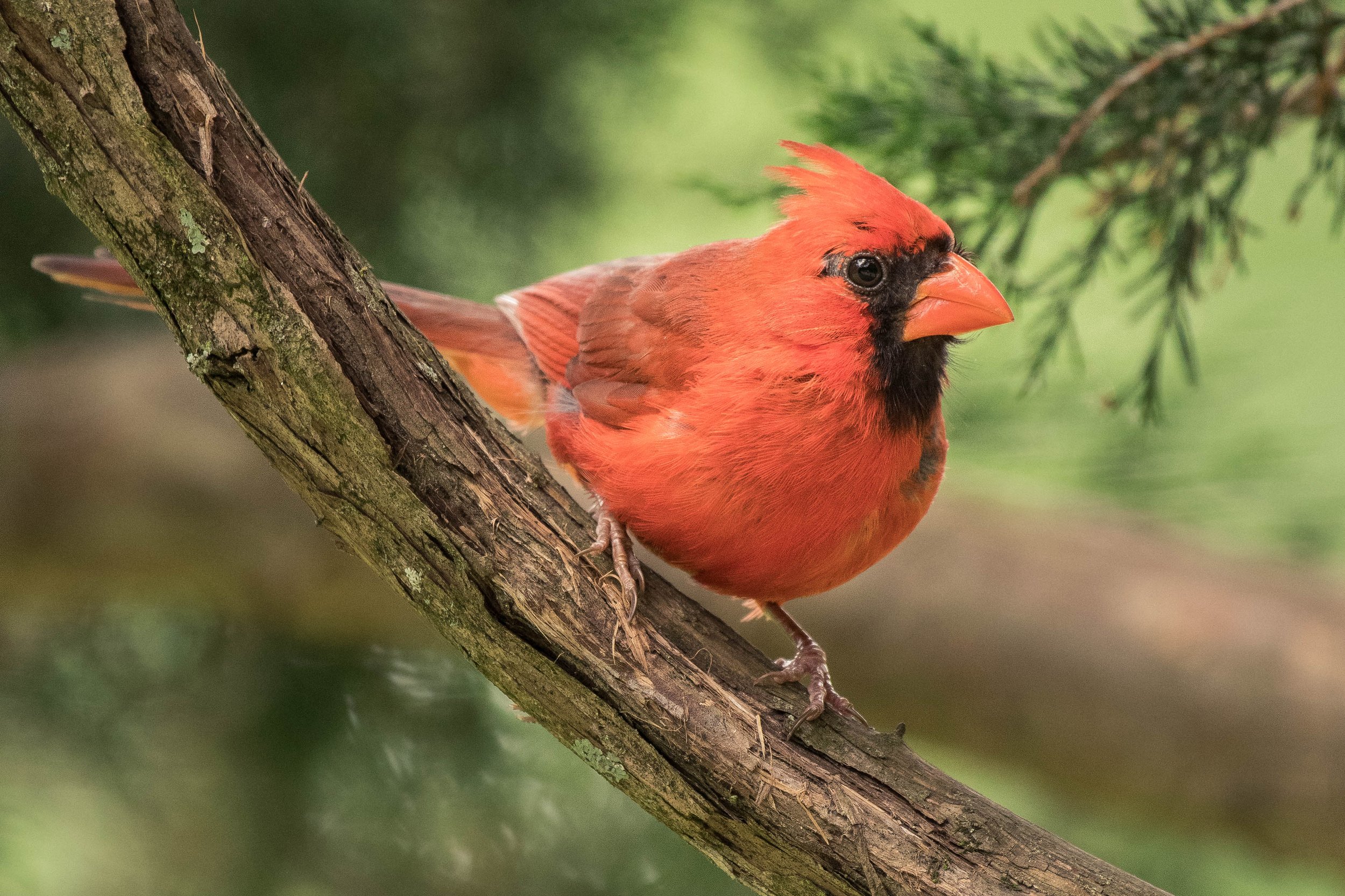
A male northern cardinal (Cardinalis cardinalis)
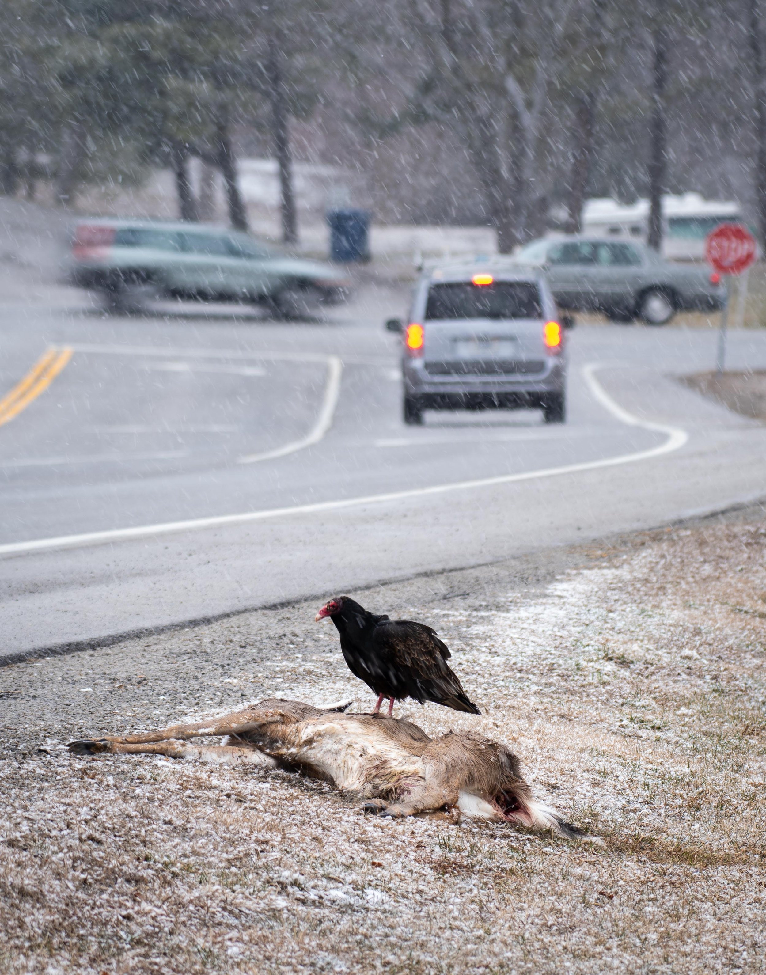
Turkey vulture (Cathartes aura)
Olympic Peninsula, Washington
A large piece of land jutting out towards the Pacific Ocean from western Washington. The Olympic peninsula is about 3,600 square miles and hosts a variety of ecosystems from the rocky pacific coastline to snowcapped mountain peaks and even a temperate rainforest. The temperate rainforest on the west side of the peninsula receives 150 inches of rainfall annually, making it one of the wettest areas in the lower 48 states. With such extreme shifts in topography and rainfall patterns across the peninsula, a wide variety of plant life can be found. The peninsula’s coastline is teeming with life as well. Twice daily, the ocean water retreats to reveal tidepools filled with sea stars, mussels and other aquatic life. Additionally, many sea birds live and feed among the coastline’s volcanic sea stacks.
Brown Pelican (pelecanus occidentalis)
Gull (Larinae)
Tiger Lily (lilium lancifolium)
Sea star (asteroidea) alongside green anemone (anthopleura xanthogrammica) revealed during low tide on Olympic's second beach
South Florida
Southern Florida is a region all its own with large metropolitan areas like Miami, Hollywood and Fort Lauderdale lining the eastern coastline contrasted by vast flooded grasslands. Much of this area is protected land dedicated as Everglades National Park and Big Cypress National Preserve. South Florida experiences just two seasons, wet and dry, characterized by humid, rainy summers and mild, dry winters. Everglades National Park sits only feet above sea level making this region especially vulnerable to sea-level rise due to climate change. The wide expanses of flooded grassland and marshes are like one giant freshwater river. Where this freshwater meets the sea creates a distinct habitat for several endangered plant and wildlife species. With sea-levels on the rise it’s unknown how this increased salinity will impact the area. What’s more is that over the past two decades the park has experienced a rise in non-native species, most prominent and troublesome being the Burmese python. Many pythons were released into the everglades ecosystem after pet owners could no longer take care of the large snake. Where the problem arises is that the Burmese python is native to Asia and has no predators to control its population numbers in the everglades. This snake reproduces quickly and in large number and is likely the reason mammal population numbers have dropped sharply over the last decade.
Male Brown Anole (Anolis sagrei) (Invasive)
American White Ibis (Eudocimus albus)
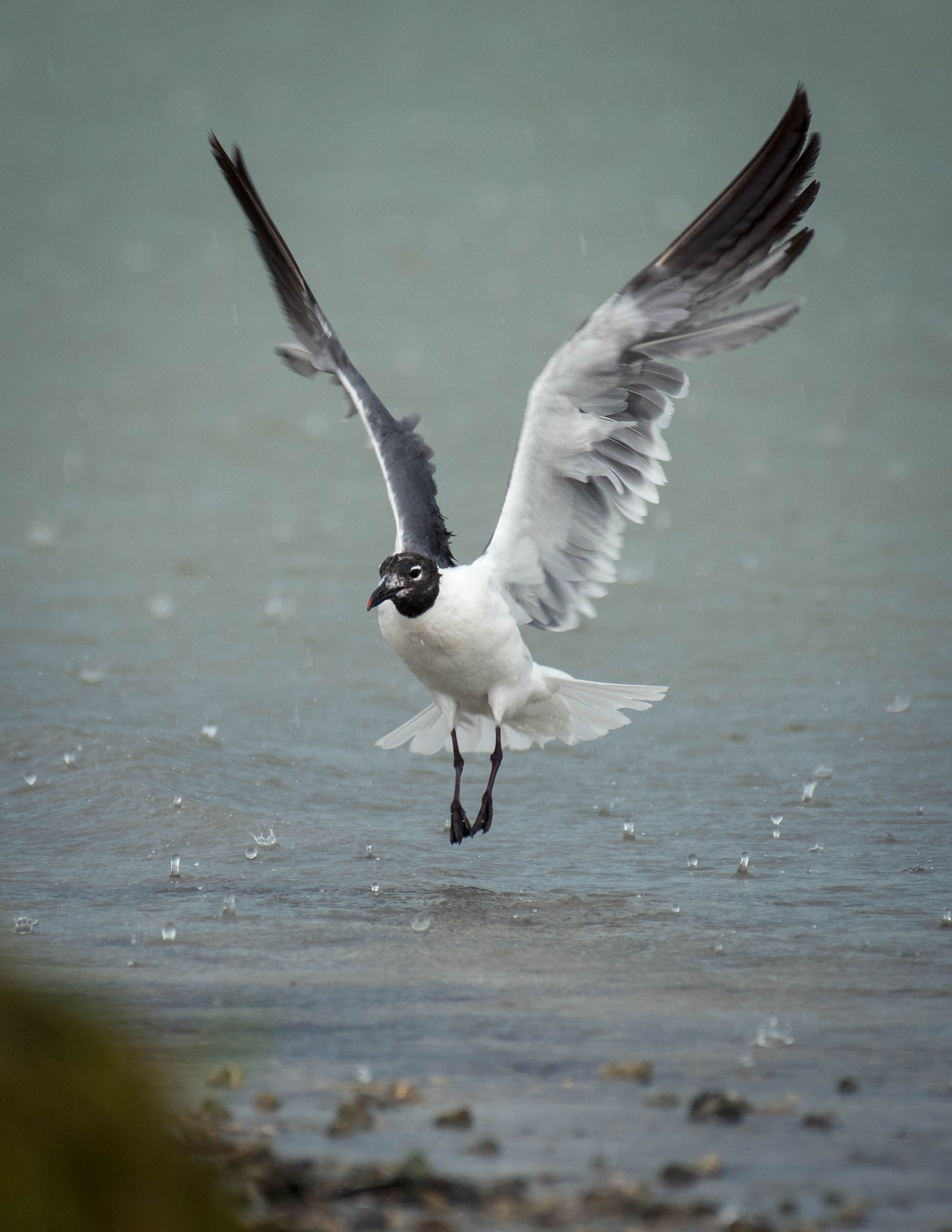
Black-headed Gull (Chroicocephalus ridibundus)
Red eared slider (Trachemys scripta elegans)
Osprey (Pandion haliaetus)
American White Ibis (Eudocimus albus)
Strangler fig tree (Ficus aurea)
Raccoon (Procyon lotor)
Isle Royale, Michigan
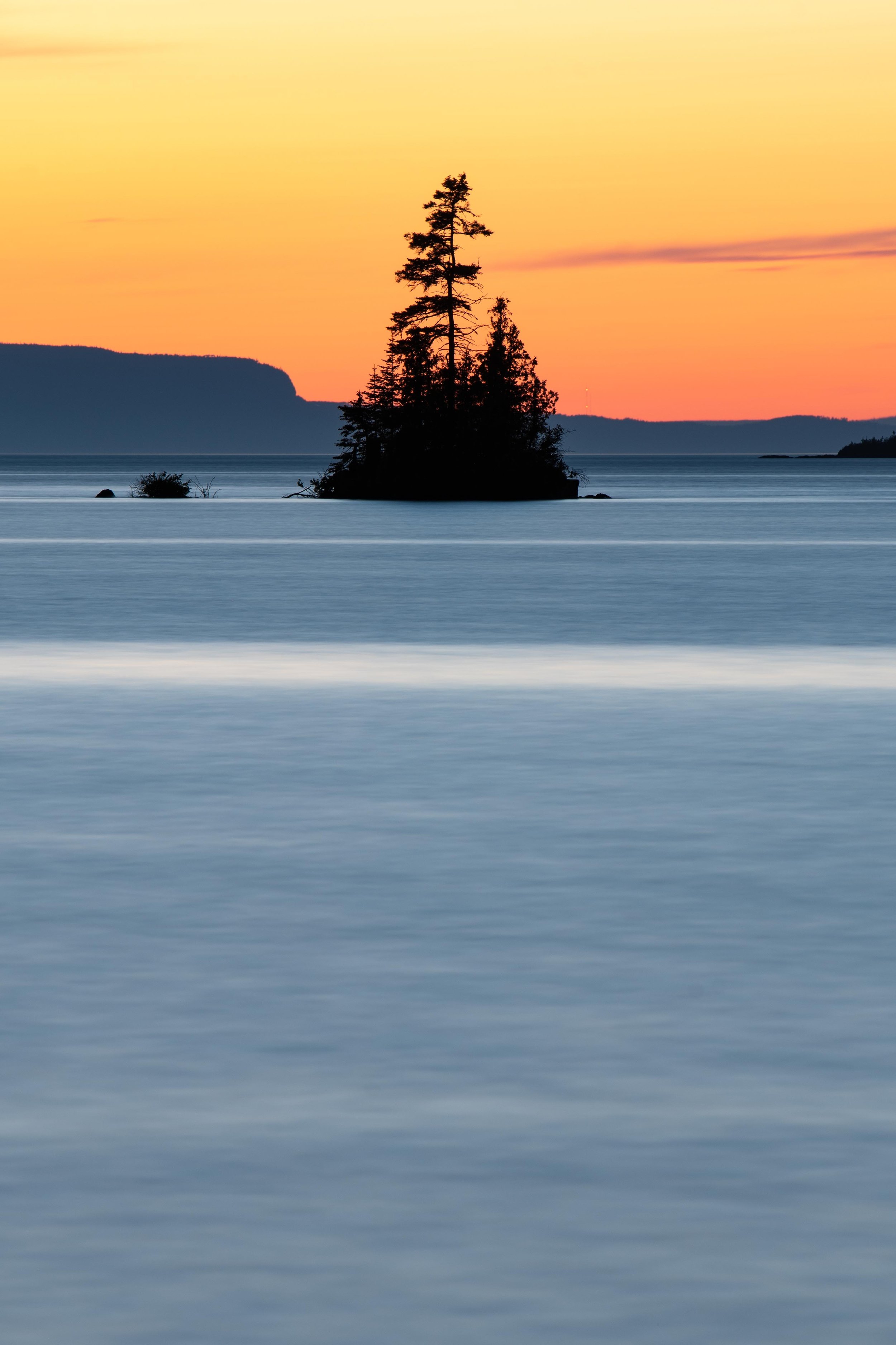
Isle Royale is a 45 mile long, 9 mile wide island in Lake Superior, the worlds largest freshwater lake by surface area. It is only accessible by boat or sea plane and actually lies closer to Canada than it does to Michigan. The habitat on the island is primarily boreal forest, similar to nearby Canada and Minnesota. A variety of wildlife make their home on Isle Royale. A couple of the most notable species are the island’s gray wolf and moose populations. The predator-prey relationship between gray wolf and moose on the island is one that has intrigued researchers because they have a direct effect on each other. The island’s wolf population helps keep moose numbers in check by hunting old, young or injured moose. In turn, sufficient moose numbers provide food for wolves over the winter.
Red fox (Vulpes vulpes)
A female moose (Alces alces) walks through a bog.
Rocky Mountains, Colorado
The rocky mountains stretch through Western Canada down to Northern New Mexico and some of the highest and most spectacular peaks are located in Colorado. The highest peak located within Rocky Mountain National Park is Longs Peak at over 14,000’ above sea level. The park also features the highest paved highway in the country. Trail Ridge Road winds through the park and reaches its highest point at over 12,000’. Terrain in the park ranges from meadows and forests to alpine tundra at the highest elevations. The alpine tundra region begins where the tree line ends, generally around 11,000’. High wind, cold temperatures and little to no rainfall limit what plants can grow here. Mountain lakes, waterfalls and streams are abundant and full of water during the cool summer months fed by snowmelt and year round precipitation. The Continental Divide runs through the park and along the slopes of the “never summer mountains” where an interesting geographical occurrence takes place. Precipitation that falls on the eastern side of the range flows into the Colorado river and eventually reaches the the Pacific Ocean, while precipitation that falls on the western slopes of the mountains joins streams and rivers that eventually flow to the Atlantic Ocean.
Bull Elk (Cervus elaphus)
Mule deer (Odocoileus hemionus)
Yellow- Bellied Marmot (Marmota flaviventris)
Female Dusky Grouse (Dendragapus obscurus)
Bull Moose (Alces alces)
Cow Elk (Cervus elaphus)
Eastern Montana
Montana is the fourth largest state in the US. The state spans 630 miles from east to west and is known for its diverse and rugged terrain. The eastern portion of the state is defined by a semi-arid steppe climate and typically only receives between 10-20 inches of precipitation a year. Summers are short and hot, with a sparing amount of trees to provide shade. Winters are long, dry and cold. The largest city by population east of Billings is Miles City with a population of just about 8,500. Being that this region is so sparsely populated and there is minimal light pollution to drown out the stars, eastern Montana is internationally recognized as one of the best places in the country to view the night sky.
According to a special report of the Montana Climate Assessment (MCA) conducted in 2021, the average annual temperature for the entire state has risen 2-3 degrees since 1950. The region is hit with swarms of grasshoppers each summer that do damage to rangeland and cropland. Grasshoppers tend to thrive when springtime weather is warm and relatively dry which is occurring more and more often due to the effects of climate change. With increasingly drier summers and thicker swarms of grasshoppers, life for farmers and ranchers who rely on this land is becoming ever more challenging.
Male Bison
Male Pronghorn (Antilocapra americana)
Orange Meadowhawk Dragonfly (Sympetrum spp)
A honeybee flies into a wild sunflower
Great Plains Toad (Anaxyrus cognatus)
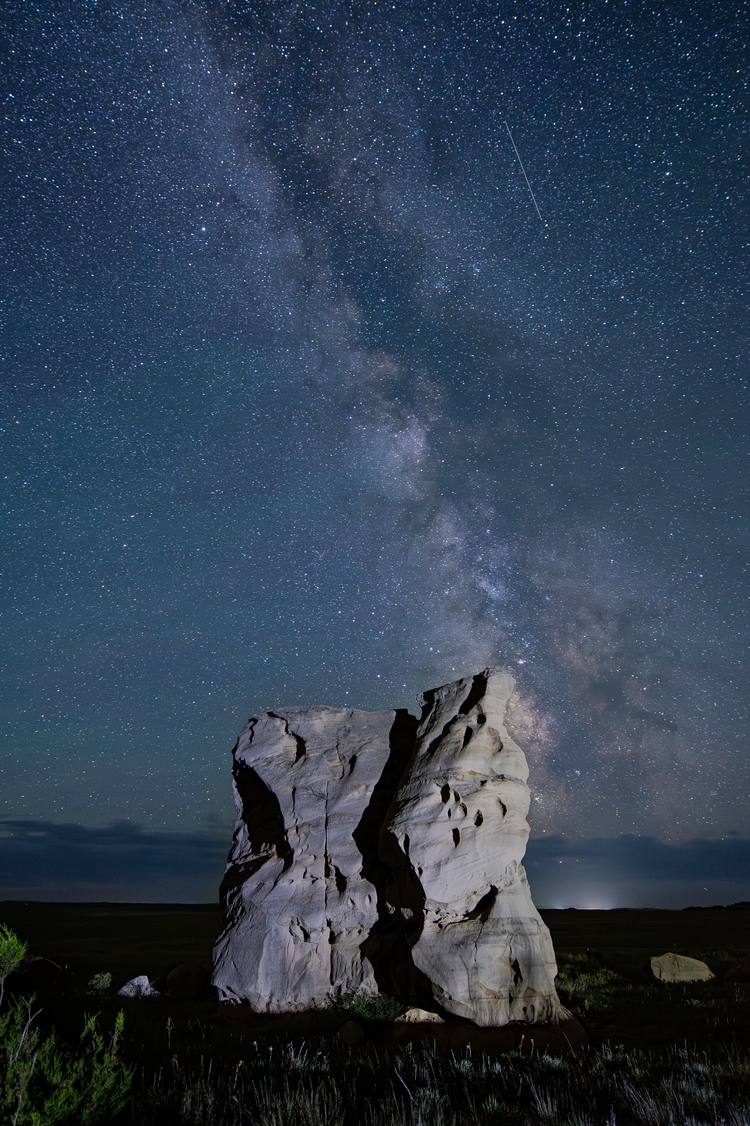
View of the milky way galaxy from Medicine Rocks State Park in Ekalaka, MT
Two-Striped Grasshopper (Melanoplus bivittatus)
Brewer's Blackbird (Euphagus cyanocephalus)
Desert Cottontail (Sylvilagus audubonii)
Western Montana
Western Montana is dominated by the Rocky Mountains and is mostly forested with trees like the ponderosa pine, aspen and Douglas-fir. The largest city in western Montana is Missoula with a population of about 75,000. Common wildlife to the area include black bear, moose, elk, coyote and the less common, grizzly bear. The region is full of natural beauty with Glacier National Park in the north and Yellowstone National Park to the south. Glacier National Park is aptly named after its 26 glaciers, although most of these glaciers are shrinking due to both natural and human-caused climate change. A glacier is a mass of ice so large that it flows under its own weight.
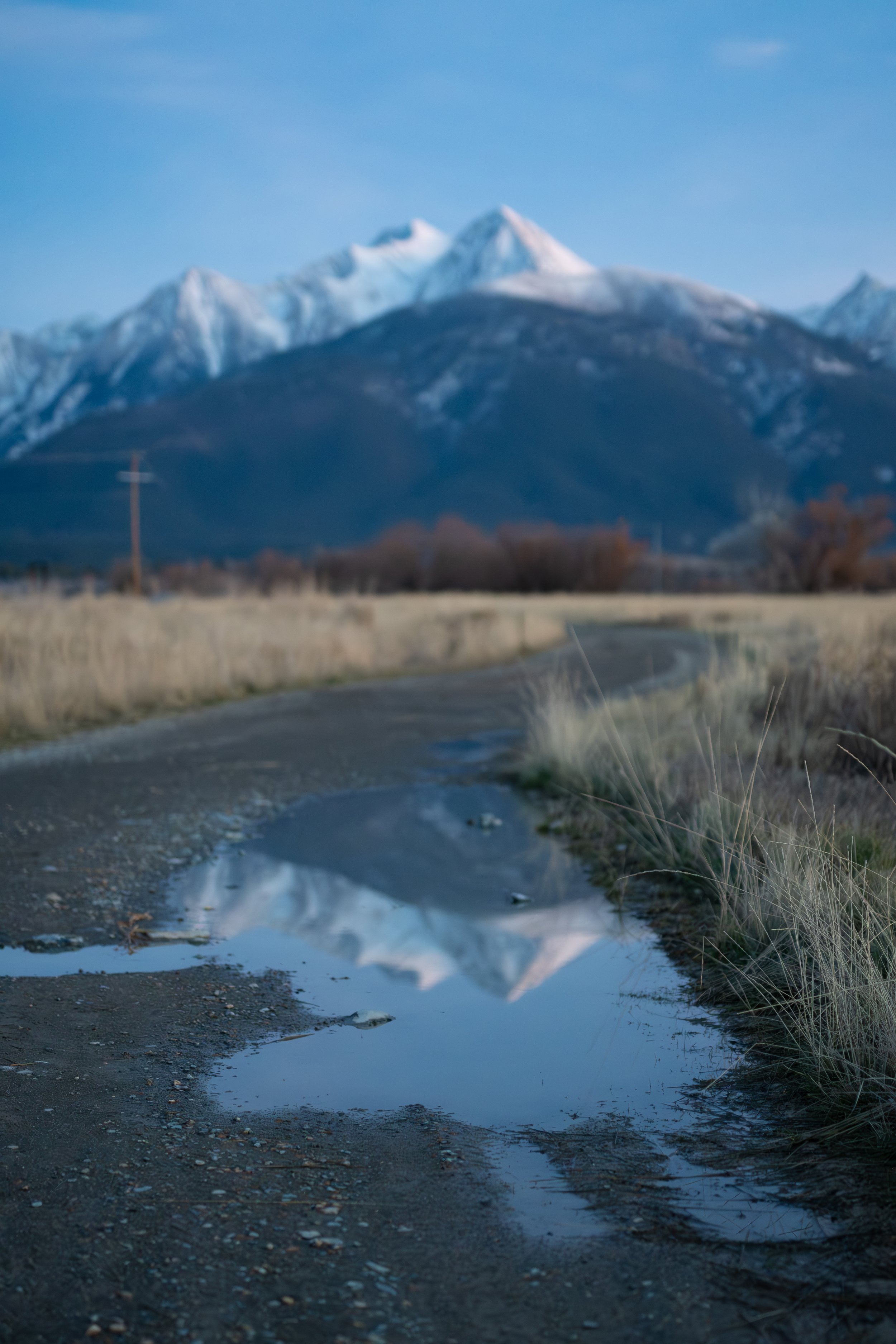
View of the mission mountain range from Ninepipe wildlife refuge
A near full moon rising over rock creek road in Clinton, Montana
A Black-Billed Magpie (Pica hudsonia) feeds on fresh roadkill
A herd of bighorn sheep (Ovis canadensis) meander along rock creek road in Clinton, Montana
A Yellow-Headed Blackbird (Xanthocephalus xanthocephalus) takes flight from a cattail at the CSKT National Bison Range in Charlo, Montana
Arrowleaf Balsamroot (Balsamorhiza sagittata)
Columbian Ground Squirrel (Urocitellus columbianus)
Madison Buffalo Jump (Native American Historical site)


